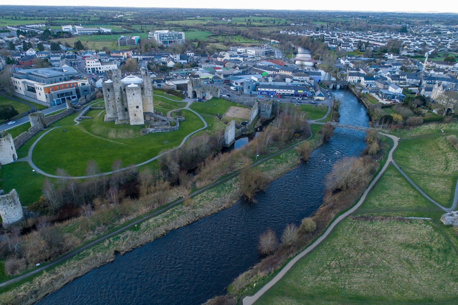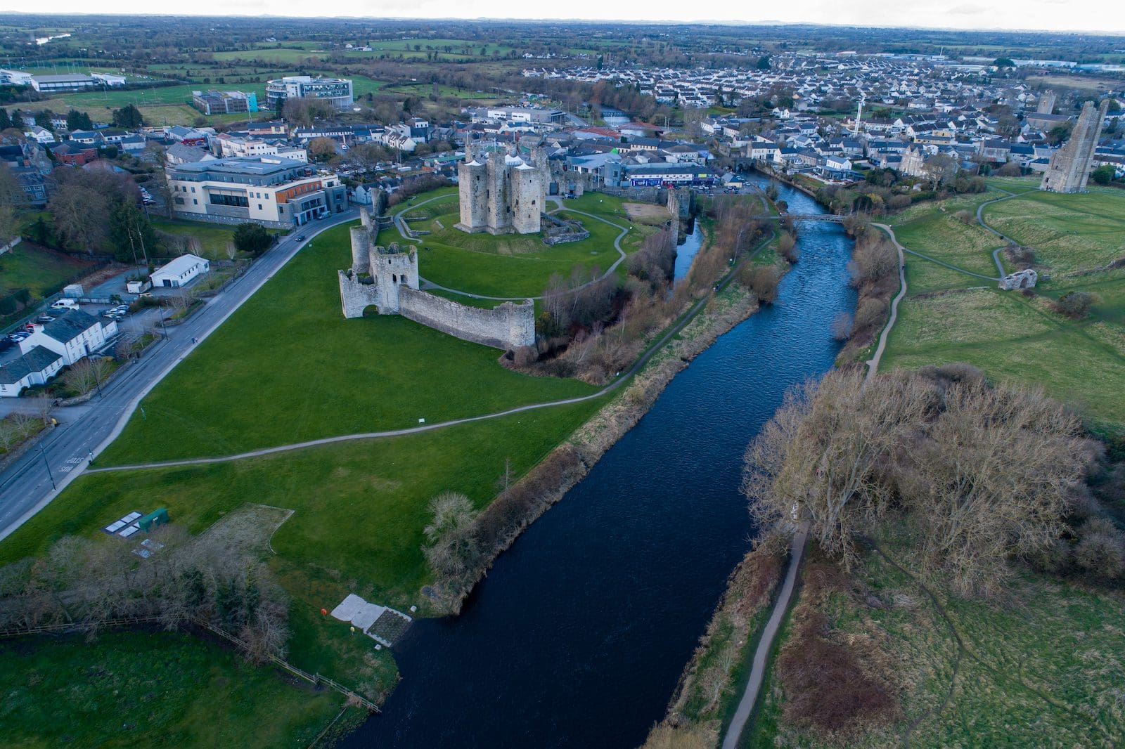


The proposed works consisted of the following alterations:
Flood Modelling
The existing regime was modelled using HEC-RAS software and site-specific survey data. Both the current flow estimation and the 100-year design flow were modelled.
As expected, the flood model showed significant overtopping of the current channels during a 1 in a 100-year flood event. The site-specific SECFRAM data support this.
The highest modelled water level during a 100-year event was estimated at 66.16 mOD. This is consistent and within the same magnitude as the SECFRAM study, which calculated a site-specific value of 66.28 mOD.


